
All case studies
Mapping & Survey
Industrial Mapping
Pixy LR · Sony ILX-LR1 Camera
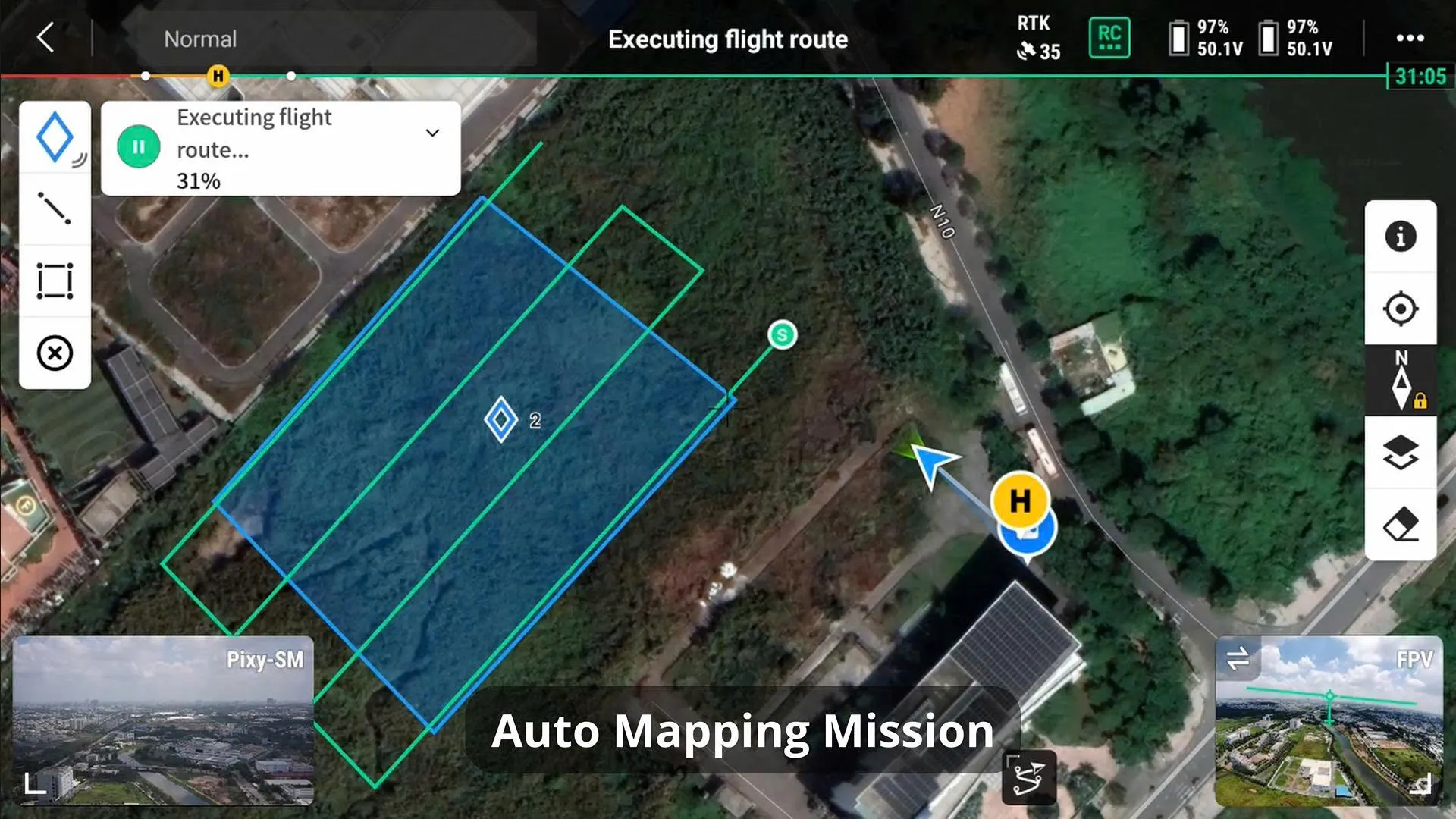
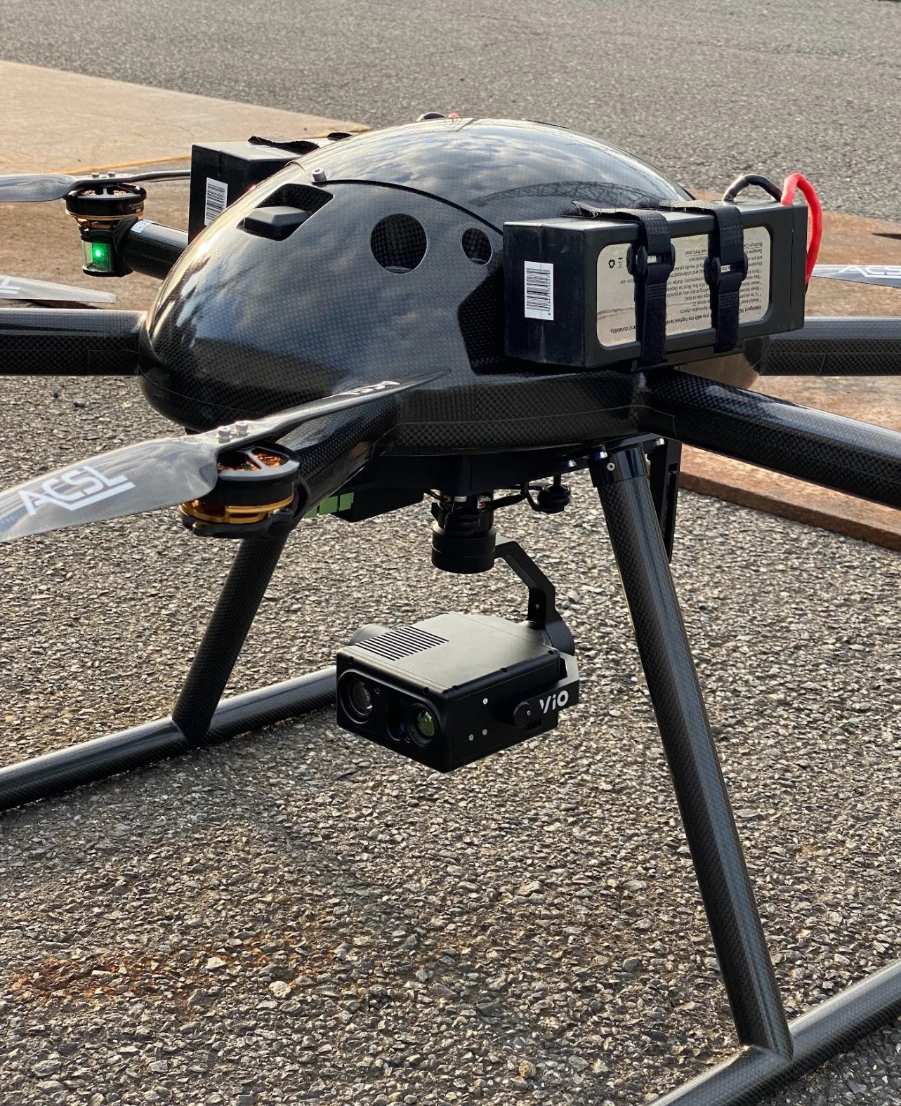
High-precision aerial mapping across dense industrial terrain, powered by the Pixy LR gimbal paired with a Sony ILX-LR1 camera for survey-grade imaging accuracy.

// Ready to deploy
Planning a similar mission?
Share your mission parameters and our engineering team will spec the right payload configuration for the job.