
We don't just build payloads.
We enable
real-world solutions.
Precision-stabilized EO/IR payloads, optimized for the unique demands of public safety, critical infrastructure, and industrial inspection.



ISR Missions
Detect. Recognize. Identify.
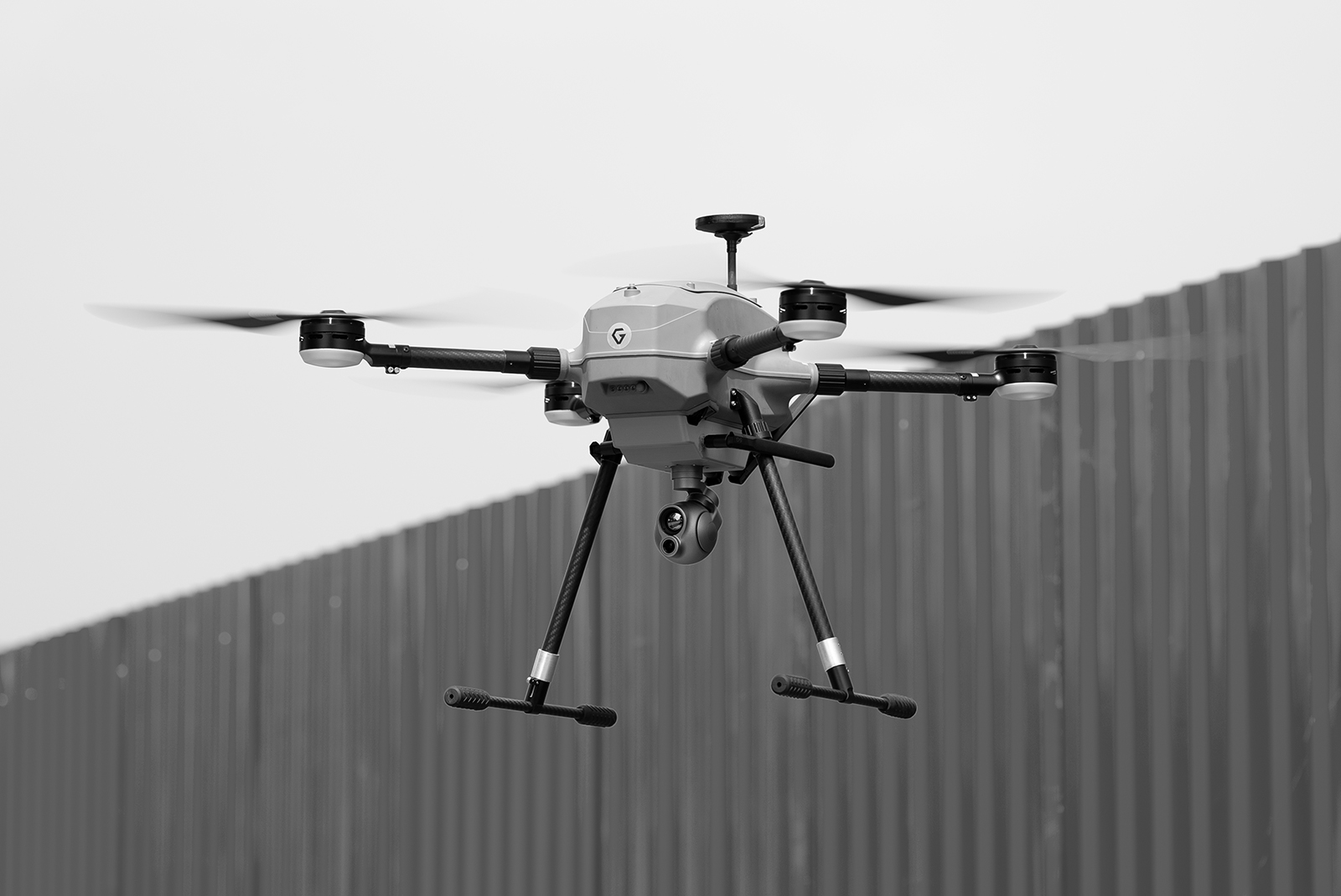
Built for modern ISR operations, Gremsy EO/IR payloads combine stabilized imaging with integrated laser rangefinding to deliver reliable detection, identification, and situational awareness. Whether supporting border monitoring, public safety, or critical infrastructure protection, operators can gather accurate information while maintaining a safe operating distance.
- Stabilization
- Imaging Quality
- SWaP
- Laser Pointer
ISR Missions
ISR Missions
Detect. Recognize. Identify.
Built for modern ISR operations, Gremsy EO/IR payloads combine stabilized imaging with integrated laser rangefinding to deliver reliable detection, identification, and situational awareness. Whether supporting border monitoring, public safety, or critical infrastructure protection, operators can gather accurate information while maintaining a safe operating distance.
Key Capabilities
Precision stabilization delivers clear, steady imagery, even in challenging flight conditions.
High-performance EO zoom enables detailed observation and accurate identification from long distances.
Optimized size, weight, and power maximize flight endurance without compromising performance.
Integrated laser pointer for precise target designation and ground coordination during ISR operations.
Use Cases
- Protect critical infrastructure by monitoring ports, industrial zones, and key facilities with long-range EO/IR imaging.
- Enhance border awareness through persistent aerial surveillance and reliable day-and-night observation.
- Rapid incident response with early detection and real-time intelligence, enabling faster coordination and informed decision-making.
Public Safety
Command the scene from above.
Reliable long-range situational awareness for law enforcement and public safety. Precision-stabilized EO/IR imaging, AI-assisted tracking, and integrated laser rangefinding help operators monitor evolving situations, identify subjects of interest, and support informed decision-making in real time.
- Stabilization
- Imaging Quality
- AI Detection
- Object Precision Tracking
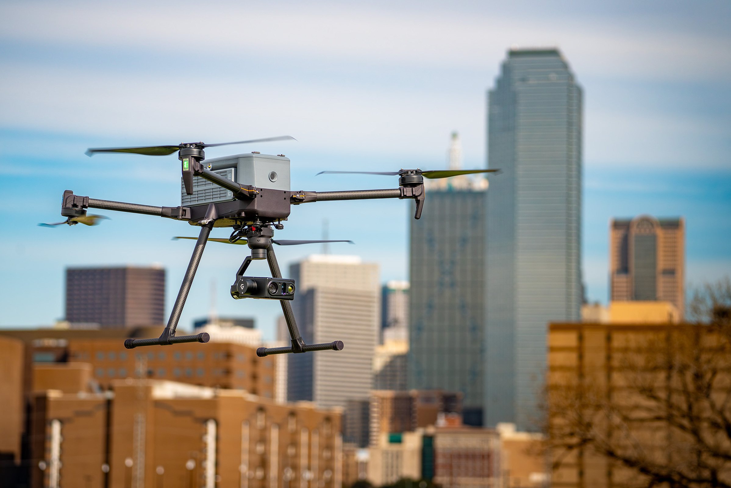
Public Safety
Public Safety
Command the scene from above.
Reliable long-range situational awareness for law enforcement and public safety. Precision-stabilized EO/IR imaging, AI-assisted tracking, and integrated laser rangefinding help operators monitor evolving situations, identify subjects of interest, and support informed decision-making in real time.
Key Capabilities
Precision stabilization delivers clear, steady imagery, even in challenging flight conditions.
High-performance EO zoom enables detailed observation and accurate identification from long distances.
AI-powered detection for rapid target recognition.
Accurate tracking of moving objects with enhanced stability.
Use Cases
- Smart city - traffic monitoring: High-zoom EO/IR imaging and AI-assisted tracking provide reliable situational awareness for traffic management and incident response.
Emergency Response
Find them first. Bring them home.
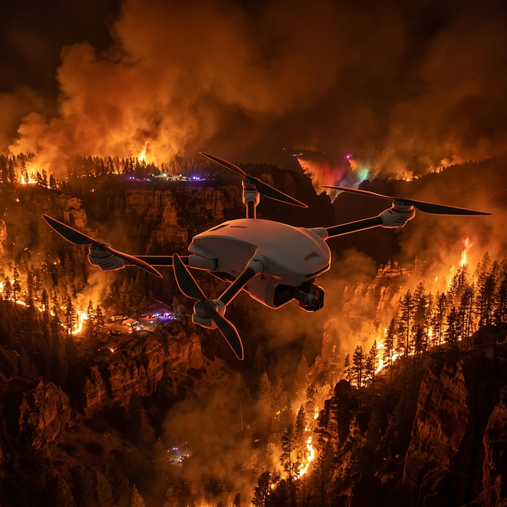
Supporting search and rescue and disaster response with advanced EO/IR vision, radiometric thermal imaging, and AI-assisted tracking. Gremsy payloads help locate survivors, track response teams, and provide reliable situational awareness in smoke, darkness, and challenging terrain, while precise geo-pointing guides teams to critical locations.
- Imaging Quality
- Object Precision Tracking
- IR Tracking
- Laser Range Finder
- IP Rating
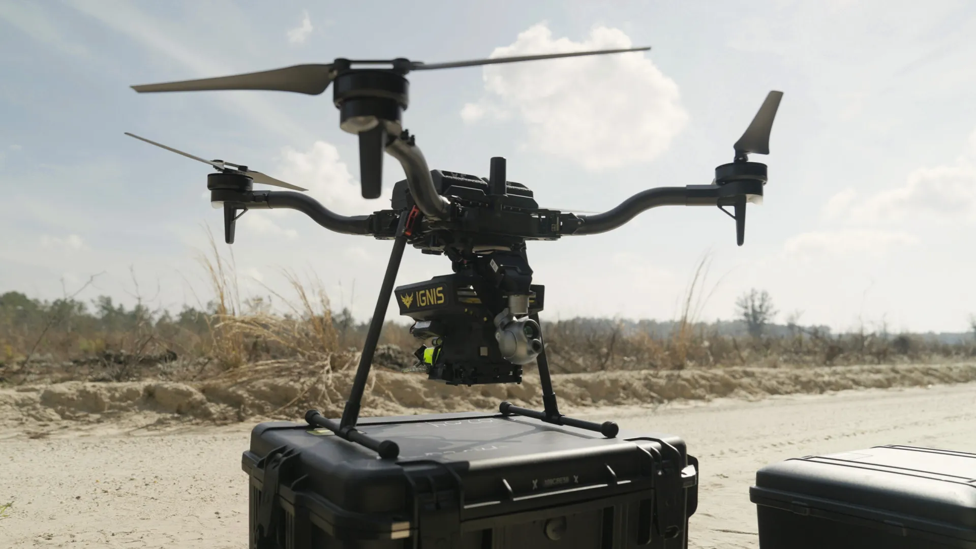
Emergency Response
Emergency Response
Find them first. Bring them home.
Supporting search and rescue and disaster response with advanced EO/IR vision, radiometric thermal imaging, and AI-assisted tracking. Gremsy payloads help locate survivors, track response teams, and provide reliable situational awareness in smoke, darkness, and challenging terrain, while precise geo-pointing guides teams to critical locations.
Key Capabilities
High-performance EO zoom enables detailed observation and accurate identification from long distances.
Accurate tracking of moving objects with enhanced stability.
Tracks heat signatures to maintain reliable target observation in low-visibility conditions.
Integrated laser rangefinding provides accurate distance measurement and improved situational awareness.
Rugged IP-rated design ensures reliable operation in harsh weather and demanding environments.
Use Cases
- Wildfire prevention
- Avalanche control
Industrial Inspection
See the failure before it happens.
Designed for infrastructure inspection, asset monitoring, and thermal diagnostics across energy, utilities, construction, and industrial facilities. High-zoom EO imaging, radiometric thermal sensing, and precision stabilization help detect structural defects, thermal anomalies, and equipment issues, enabling safer inspections and more informed maintenance decisions.
- Imaging Quality
- Stabilization
- Radiometric Thermal Camera
- Mapping
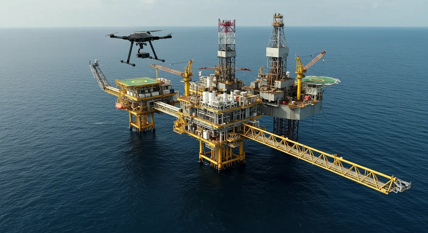
Industrial Inspection
Industrial Inspection
See the failure before it happens.
Designed for infrastructure inspection, asset monitoring, and thermal diagnostics across energy, utilities, construction, and industrial facilities. High-zoom EO imaging, radiometric thermal sensing, and precision stabilization help detect structural defects, thermal anomalies, and equipment issues, enabling safer inspections and more informed maintenance decisions.
Key Capabilities
High-performance EO zoom enables detailed observation and accurate identification from long distances.
Precision stabilization delivers clear, steady imagery, even in challenging flight conditions.
Measures temperature variations to detect thermal anomalies and support detailed analysis.
Precision stabilization and high-quality imaging deliver reliable mapping data for surveying, construction, and infrastructure projects.
Use Cases
- Wind Turbine Inspection
- Mapping for construction
- Solar Pannel Inspection
- Power Substation Inspection
- Maritime Inspection
Find the right payload for your mission
Tell us about your mission and our engineering team will recommend the right configuration.